— Autonomous Search, Reconnaissance & Emergency Support Solution
1. Application Background
Natural disasters such as earthquakes, floods, landslides, fires, and structural collapses create highly complex and
unpredictable environments.
These scenarios often involve damaged infrastructure, blocked access routes, low visibility, and ongoing secondary
risks, making traditional human rescue operations extremely challenging and hazardous.
Large-scale disaster areas also suffer from incomplete situational awareness, making it difficult to assess conditions
in real time.
As a result, disaster response is shifting toward autonomous, robotic, and data-driven systems.
2. System Overview
This solution integrates:
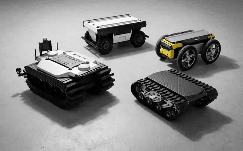
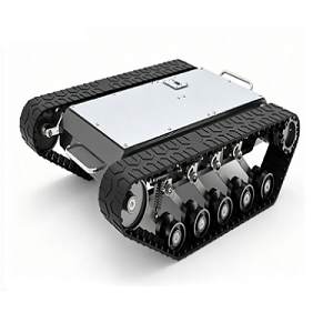
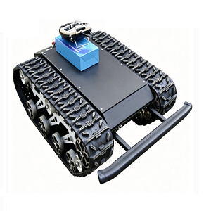
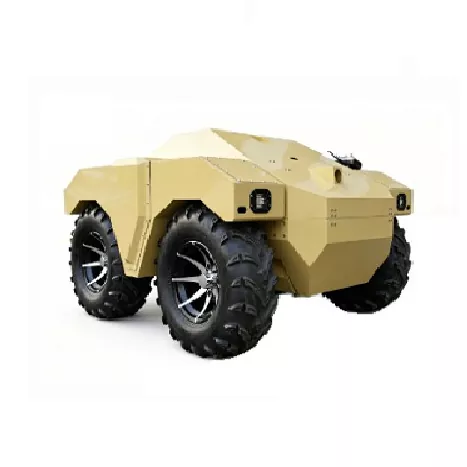
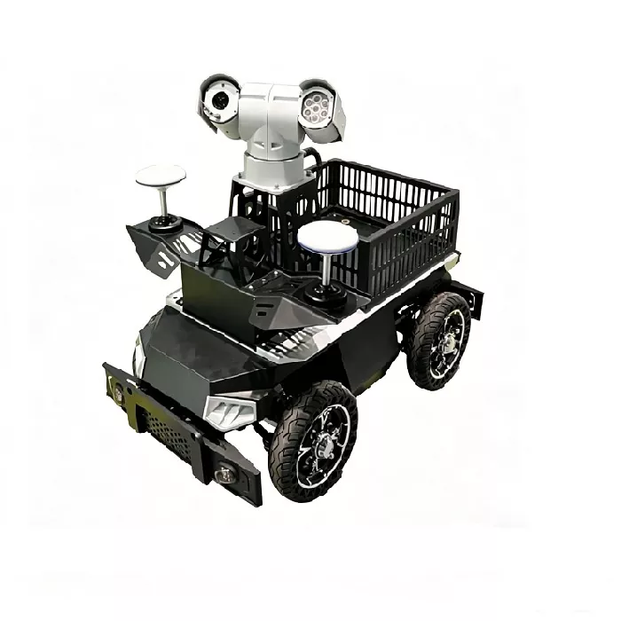
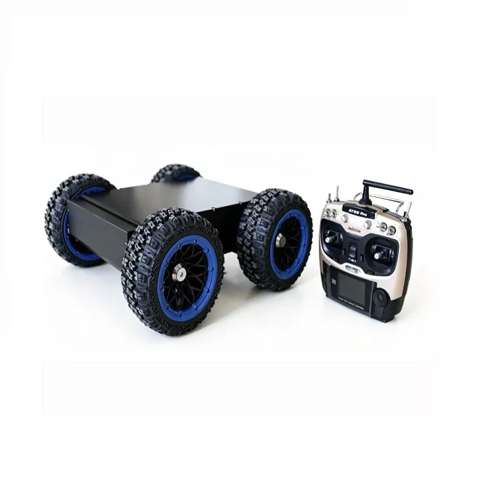
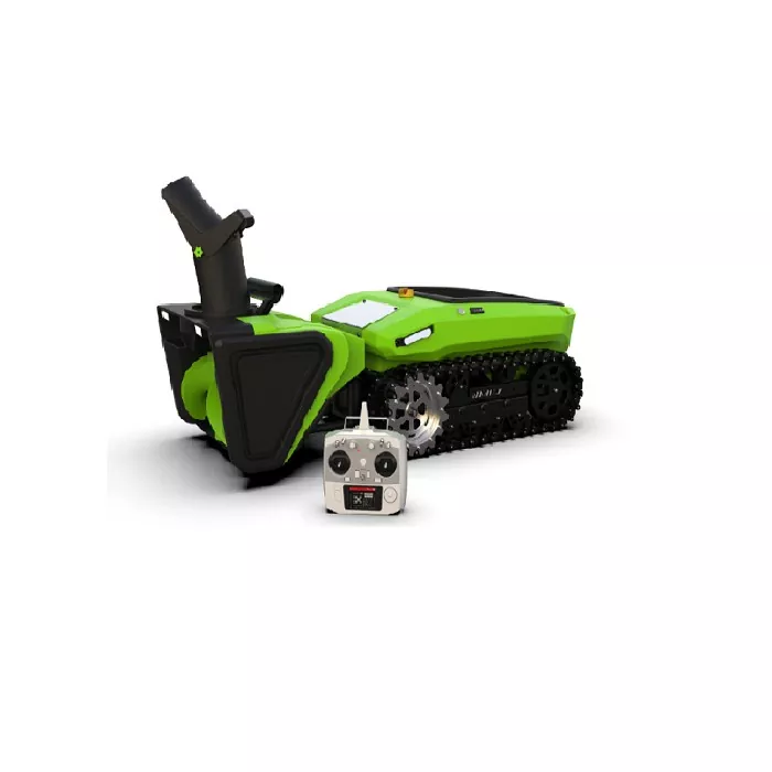
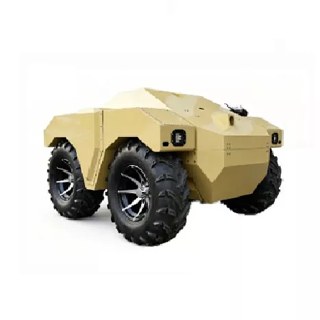
Multi-terrain rescue robots
UAV-based aerial reconnaissance system
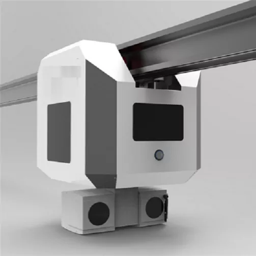
Multi-sensor environment perception system
Remote command and control platform
Disaster modeling and analysis system
It enables coordinated ground-air disaster assessment and support operations.
3. Ground Rescue Robot System
Multi-Terrain Mobility Platform
Operation in rubble, mud, and uneven terrain
Obstacle-crossing capability
Access to confined spaces
Autonomous navigation in unstructured environments
Multi-Sensor Perception System
Optical imaging for structural recognition
Thermal imaging for heat source detection
Low-visibility imaging systems
Gas and environmental sensing
LiDAR-based 3D mapping
Search & Localization Support
Victim heat signature detection
Hotspot localization
Structural mapping of collapsed zones
Search path optimization
4. UAV Disaster Reconnaissance System
Aerial Situation Awareness
Rapid deployment to disaster zones
Large-area terrain scanning
Structural damage assessment
Real-time video transmission
Thermal & Life Detection
Human heat signature detection
Night and smoke environment sensing
Collapse zone hotspot identification
5. Command & Data Fusion System
Real-time disaster mapping
Multi-source data fusion
Search zone allocation
Task coordination and planning
Dynamic situation updates
6. Operational Workflow
UAVs perform initial aerial reconnaissance to map disaster zones.
Ground robots then enter critical areas for detailed search and inspection.
All data is transmitted to a central command platform for analysis and rescue planning.
7. Application Scenarios
Earthquake disaster zones
Flood and urban inundation
Landslide and geological disasters
Fire and explosion incidents
8. System Value
Reduced human exposure to high-risk environments
Faster situational awareness
Expanded coverage in complex terrain
Improved rescue decision support
Shift toward robot-first disaster response
9. Scalability
Integration with emergency systems
Coordination with fire response platforms
Multi-robot search networks
AI-based victim detection models
Digital twin disaster modeling
10. Conclusion
The disaster rescue system integrates ground robotics and UAV technologies into a unified autonomous emergency
response architecture, enabling safer, faster, and more intelligent disaster assessment and rescue support in complex
environments.
Utilizziamo i cookie per offrirti una migliore esperienza di navigazione, analizzare il traffico del sito e personalizzare i contenuti. Utilizzando questo sito, accetti il nostro utilizzo dei cookie.
politica sulla riservatezza